Toggle navigation
Digital collections
Dansk
Fritekst
Titel
Ophav
Person
Lokalitet
search for
Search
Digital collections
Digital collections
Småtryk
Partiprogrammer
Varehuse
Judaistisk Samling: Tidlige & sjældne tryk
Kort & Atlas
Atlas
Kort
Særudgivelser
1914-1920
Aalborg Luftfotos rutekort
Ariel/Dansk Luftfotoskortbøger
Deutsche Heereskarte Dänemark 1:100 000
Deutsche Heereskarte Dänemark 1:25 000
Fremmede magters kort over Danmark
Historisk Kronologisk Samling, udtaget kort
Håndtegnede kort
Ingeniørkorpsets Samling
Insurance plan of Kjøbenhavn (Copenhagen.) Danmark Sept. 1908
Jens Sørensen Søkort (Danmark)
Lauge Kochs Samling (Grønland)
Odense og Dana Luftfotos kortbøger
Om: Kartografen Johannes Mejer
Oversigtskort til seriekort
Pontoppidans Atlas 1730 (Danmark)
Pontoppidans Atlas 1767-1781 (Danmark)
Rinks Samling (Grønland)
Rytterdistriktskort (Danmark)
Samling af ældre kort over nordiske områder bla. af Gerhard Schøning
Seriekort Slovakiet, Tjekkiet, Ungarn, Østrig 1880-1939 1:75 000
Sterms pastorat- og sognekort (Sjælland)
Sterms Topographie (København)
Søkort, Nordens farvande
Tegners minorerede matrikelkort (Danmark)
Vestindien
David Simonsens Håndskrifter
Orientalsk Samling: Tidlige tryk
Vesterlandske håndskrifter
Trykte bøger
David Simonsens Arkiv
Det Kgl. Biblioteks Arkiv
Judaistisk Samling: Håndskrifter
Orientalsk Samling: Håndskrifter
Dansk Folkemindesamling
Billeder
Search Constraints
« Previous |
1
-
50
of
397
|
Next »
Sort by Tidligst
Titel
Ophav
Tidligst
Senest
Number of results to display per page
50 per page
30
per page
50
per page
100
per page
View results as:
List
Gallery
Masonry
Search Results
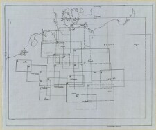
Oversigtskort til Russland 1:1 000 000
Oversigtskort til Oversigtskort til [Tabulae Geographicae KBK 2-17] : Oversigtskort 1:...
Oversigtskort til Oversigtskort til [Tabulae Geographicae KBK 2-17] : Oversigtskort 2...
Oversigtskort til Topographische Specialkarte von Deutschland und den angrenzenden Sta...
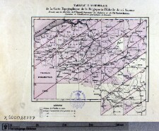
Oversigtskort til Carte topographique de la République Française gravée a l'é...
Oversigtskort til Six-inch county maps Irland
Oversigtskort til Townland survey of the County of Londonderry
Oversigtskort til Townland survey of the County of Antrim
Oversigtskort til Townland survey of the County of Down
Oversigtskort til Townland survey of the County of Tyrone
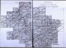
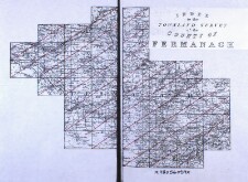
Oversigtskort til Townland survey of the County of Fermanagh
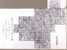
Oversigtskort til Townland survey of the County of Monaghan
Oversigtskort til Townland survey of the County of Armagh
Oversigtskort til Townland survey of the County of Louth
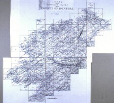
Oversigtskort til Townland survey of the County of Donegal
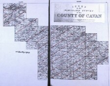
Oversigtskort til Townland survey of the County of Cavan
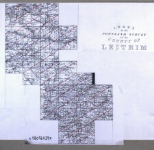
Oversigtskort til Townland survey of the County of Leitrim
Oversigtskort til Townland survey of the County of Sligo
Oversigtskort til Townland survey of the County of Meath
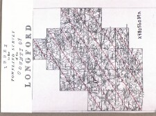
Oversigtskort til Townland survey of the County of Longford
Oversigtskort til Townland survey of the County of Roscommon
Oversigtskort til Townland survey of the County of Westmeath
Oversigtskort til Townland survey of the County of Kildare
Oversigtskort til Townland survey of the County of Wicklow
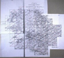
Oversigtskort til Townland survey of the County of Mayo
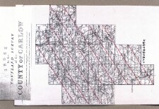
Oversigtskort til Townland survey of the County of Carlow
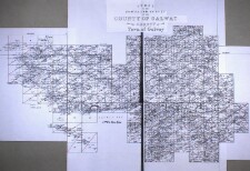
Oversigtskort til Townland survey of the County of Galway
Oversigtskort til Townland survey of the King's County
Oversigtskort til Townland survey of the Queen's County
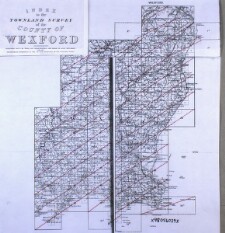
Oversigtskort til Townland survey of the County of Wexford
Oversigtskort til Townland survey of the County of Kilkenny
Oversigtskort til Townland survey of the County of Clare
Oversigtskort til Topographische Karte der Schweiz
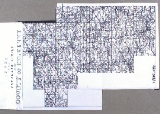
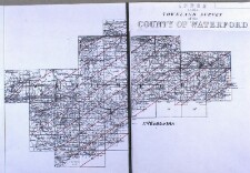
Oversigtskort til Townland survey of the County of Waterford
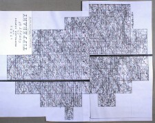
Oversigtskort til Townland survey of the County of Tipperary
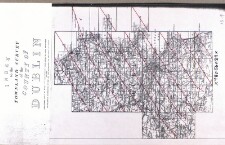
Oversigtskort til Townland survey of the County of Dublin
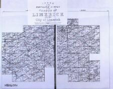
Oversigtskort til Townland survey of the County of Limerick
Oversigtskort til Townland survey of the County of Kerry
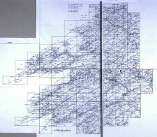
Oversigtskort til Ordnance Survey of Lancashire
Oversigtskort til Carte topographique de la Belgique
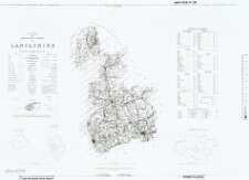
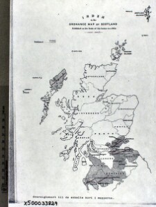
Oversigtskort til Ordnance map of Scotland Ordnance survey of Edinburghshire : 1853-1...
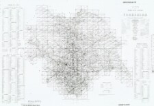
Oversigtskort til Ordnance Survey of Yorkshire
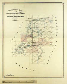
Oversigtskort til Topographische en militaire kaart van het Koningrijk der Nederlanden
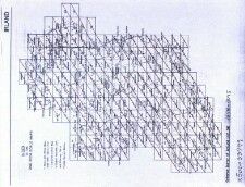
Oversigtskort til Ordnance Survey of Ireland
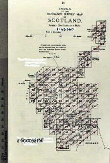
Oversigtskort til Ordnance Survey of Scotland
Oversigtskort til Ordnance Survey of Durham
Oversigtskort til Karte des Deutschen Reiches
Oversigtskort til Ordnance plan of the Parish of St. Oswald
Oversigtskort til Ordnance Survey of England
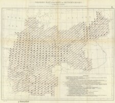
Oversigtskort til Generalstabens karta över Sverige i skala 1:100 000, södra delen
« Previous
Next »
1
2
3
4
5
…
7
8