Søgebegrænsninger
« Forrige |
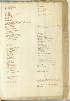
1 - 30 af 262
|
Næste »
Søgeresultater


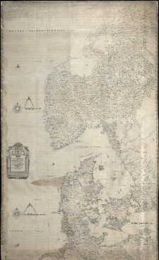
10. Ad ... Christianum, Principem hereditarium ... Daniæ et Norvegiæ Tabula ... Regis Friderici III ..
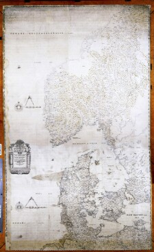
11. Ad ... Christianum, Principem hereditarium ... Daniæ et Norvegiæ Tabula ... Regis Friderici III ..
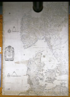
12. Ad ... Christianum, Principem hereditarium ... Daniæ et Norvegiæ Tabula ... Regis Friderici III ..
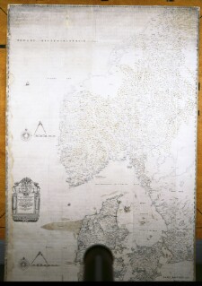
13. Ad ... Christianum, Principem hereditarium ... Daniæ et Norvegiæ Tabula ... Regis Friderici III ..


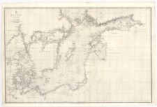
18. Baltic
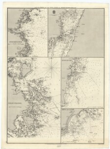

21. Bomarsund 1834