Search Constraints
« Previous |
1 - 100 of 21,334
|
Next »
Search Results
1. Danmørk

2. Danmørk
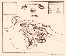
3. Haderslev By


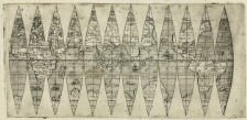
13. [Verdenskort]

15. [Verdenskort]

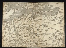
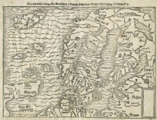
16. [Germania-Magna]
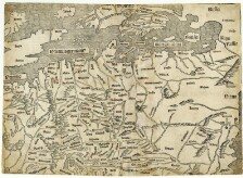
17. [Germania-Magna]
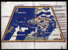
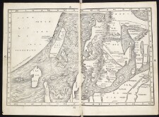
19. [Jorden]
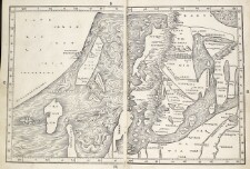
20. [Schondia]

22. [Schondia]
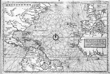
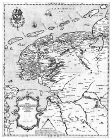
23. Frisland


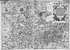
35. Venetia

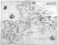
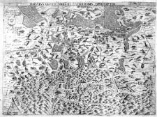
41. Regno di Napoli

46. Britanniæ insulæ qvæ nunc Angliæ et Scotiæ regna continet cum Hibernia adiacente nova descriptio


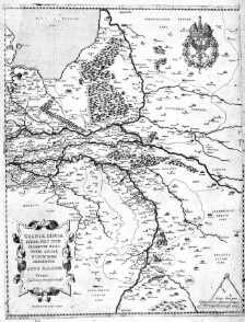


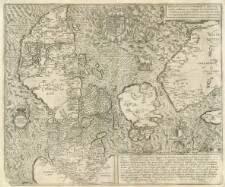
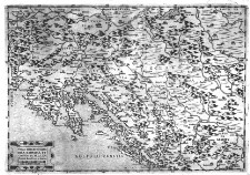
72. Lombardia

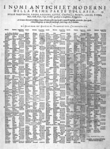
76. I nomi antichi, et moderni della Italia delle Provinvie, Regioni, Citta`, ... nell Isola di Cicili

79. I nomi antichi, et moderni della Italia delle Provinvie, Regioni, Citta`, ... nell Isola di Cicili

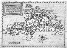
81. Isola di Malta


98. Descrittione particulare di Fiandra Intagliata da Paolo Forlani Veronese l'anno MDLXVII [1567]
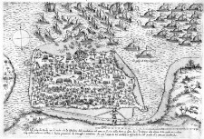
99. [Mirandola]