Search Constraints
Search Results
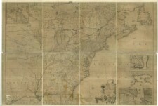
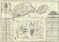
151. A map of the British Empire in America with the French and Spanish settlements adjecent thereto
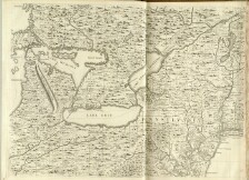
152. A map of the British Empire in America with the French and Spanish settlements adjecent thereto
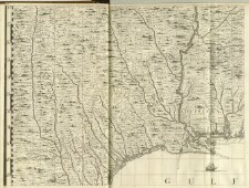
153. A map of the British Empire in America with the French and Spanish settlements adjecent thereto
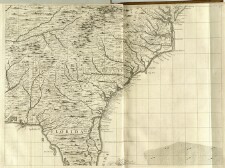
154. A map of the British Empire in America with the French and Spanish settlements adjecent thereto

155. A map of the British Empire in America with the French and Spanish settlements adjecent thereto
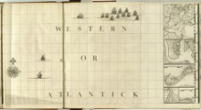
156. A map of the British Empire in America with the French and Spanish settlements adjecent thereto
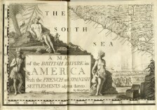
157. A map of the British Empire in America with the French and Spanish settlements adjecent thereto