Search Constraints
Search Results

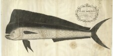
103. A Male Dolphin


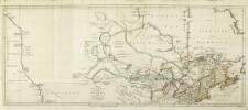

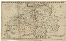
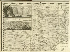
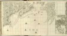
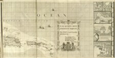
144. A map of the British Empire in America with the French and Spanish settlements adjecent thereto
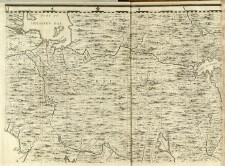
145. A map of the British Empire in America with the French and Spanish settlements adjecent thereto

146. A map of the British Empire in America with the French and Spanish settlements adjecent thereto
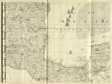
147. A map of the British Empire in America with the French and Spanish settlements adjecent thereto
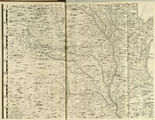
148. A map of the British Empire in America with the French and Spanish settlements adjecent thereto