Search Constraints
Search Results

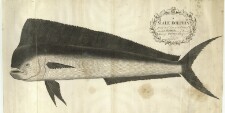
103. A Male Dolphin


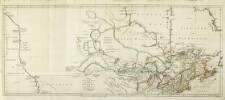

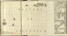
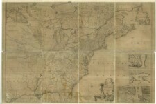
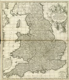
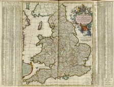
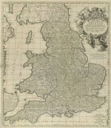
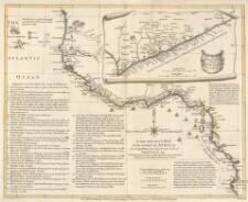
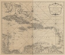
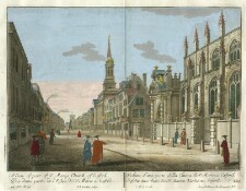
144. A map of the British Empire in America with the French and Spanish settlements adjecent thereto
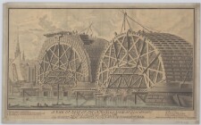
145. A map of the British Empire in America with the French and Spanish settlements adjecent thereto

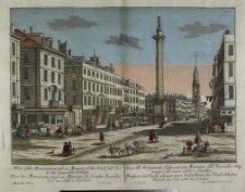
146. A map of the British Empire in America with the French and Spanish settlements adjecent thereto
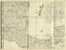
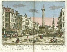
147. A map of the British Empire in America with the French and Spanish settlements adjecent thereto
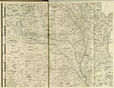
148. A map of the British Empire in America with the French and Spanish settlements adjecent thereto
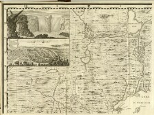
149. A map of the British Empire in America with the French and Spanish settlements adjecent thereto
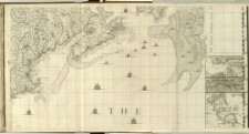
150. A map of the British Empire in America with the French and Spanish settlements adjecent thereto
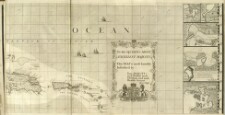
151. A map of the British Empire in America with the French and Spanish settlements adjecent thereto
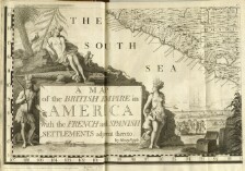
152. A map of the British Empire in America with the French and Spanish settlements adjecent thereto
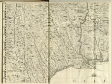
153. A map of the British Empire in America with the French and Spanish settlements adjecent thereto
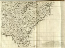
154. A map of the British Empire in America with the French and Spanish settlements adjecent thereto
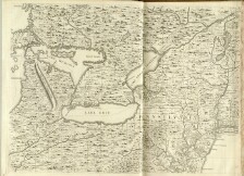
155. A map of the British Empire in America with the French and Spanish settlements adjecent thereto

156. A map of the British Empire in America with the French and Spanish settlements adjecent thereto

157. A map of the British Empire in America with the French and Spanish settlements adjecent thereto

158. A map of the British Empire in America with the French and Spanish settlements adjecent thereto


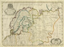
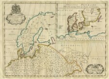


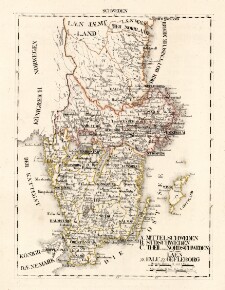
193. A. Mittelschweden B. Südschweden, C. Theil von Nordsehweden und zwar. Laen 21. Falu, 22. Gefleborg
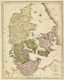
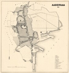
194. Aabenraa 1862
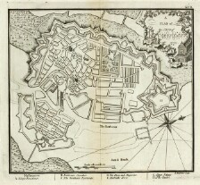
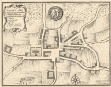
195. Aakirke-Bÿe
196. Aalborg